
Live conditions · Miami
King Tide with Street Flooding Likely in South Florida
Coastal Flood Advisory in effect until 8:00 PM. Next high tide at tomorrow at 12:16 AM is expected to reach about +1.9 ft above normal high tide, enough to flood low streets.
-
+2.1ft
Miami Beach
Severe risk
-
+1.7ft
Hollywood
Severe risk
-
+1.7ft
Fort Lauderdale
Severe risk
King tide season 2026
Cycle 5 of 9
- Aug11 – 14Past
- Sep9 – 13Past
- Sep26 – Oct 1Past
- Oct7 – 13Past
- Oct24 – 31Now
- Nov5 – 11
- Nov22 – 28
- Dec5 – 8
- Dec23 – 27
Choose a city
Peak water expected today, ft above normal high tide
Source: NOAA Tides & Currents, Virginia Key gauge; NWS. Updated 7:54 PM ET · Data delayed
Is your address at risk?
Enter any address from Broward to Homestead, including unincorporated Dade, to see its flood zone, elevation, and projected 2050 risk.
Example result for
1700 Convention Center Drive, Miami Beach, 33139
We couldn't match the exact house number, so these values are for the nearest point on the street.
High
FEMA flood zone
AE
High-risk zone (1% yearly flood chance). Flood insurance is usually required with a federally backed mortgage. 100-year flood level: 8.0 ft, 3.3 ft above the ground here.
Ground vs. water (ft, NAVD88)
Ground is 3.4 ft above projected 2050 high tide.
© OpenStreetMap contributors
Step 3 of 4 on our scale: Low, Moderate, High, Severe.
What this means: This location already sits in, or close to, flood-prone ground. Flood insurance and an elevation certificate are worth getting now.
Sources: FEMA National Flood Hazard Layer, USGS 3DEP elevation, NOAA 2022 sea level rise projections (Intermediate), Virginia Key tide gauge, address search by OpenStreetMap. Your address is sent to these public services to look it up; we don't store it. Not an official flood determination. Confirm your zone on the FEMA Flood Map Service Center or with your insurer.
Updated 7:54 PM ET
Latest news
-
AdvisoryWeather alert · Until 8:00 PM, Oct 30
Coastal Flood Advisory (National Weather Service)
Miami, Miami Beach, Hallandale Beach, Hollywood, Fort Lauderdale
-
Climate Resilience Committee
City of Miami
-
Regular City Commission Meeting
On the agenda: Establishing The Hollywood Beach Public Benefit And Resilience Trust Fund
City of Hollywood · Commission Chambers Room 219 · Agenda
-
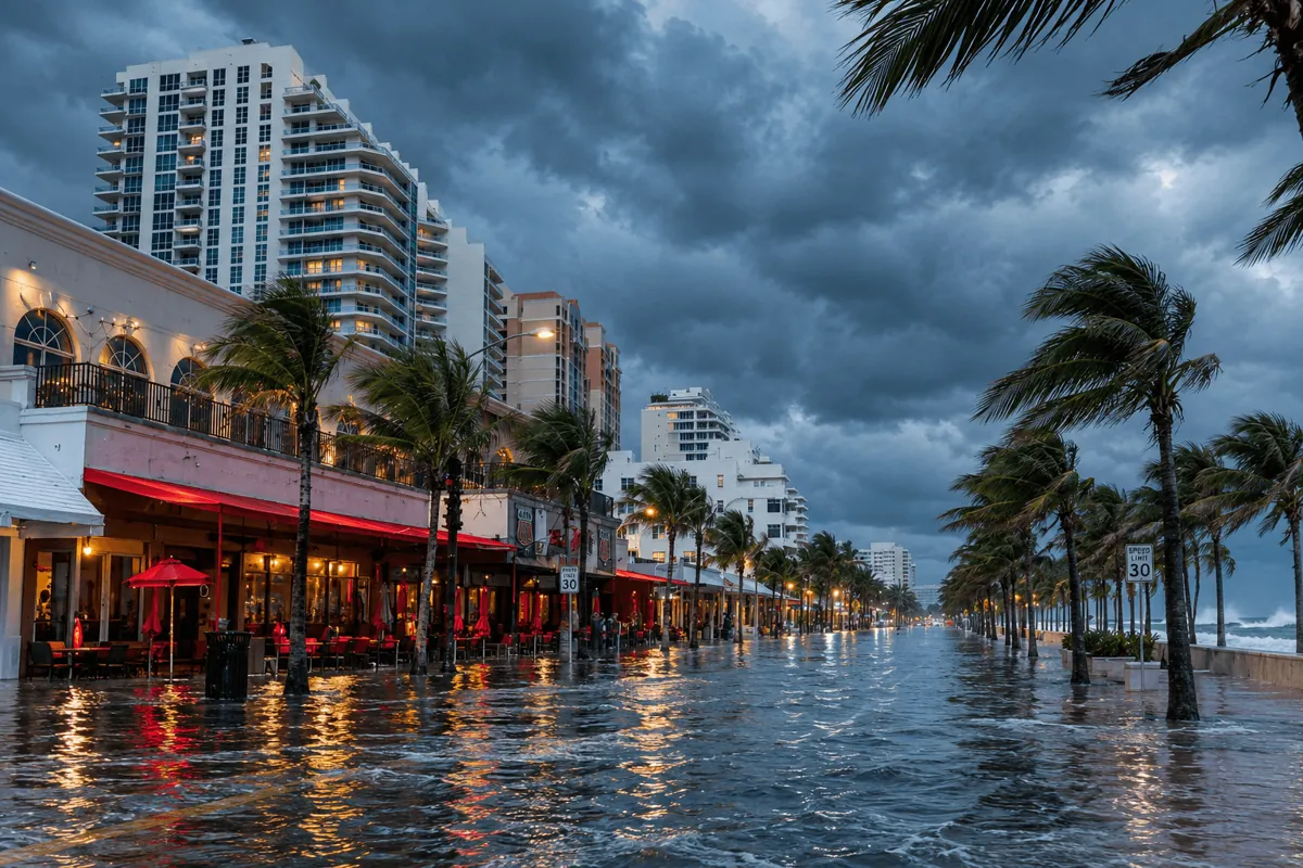
Five cities, one coastline
Your city
Updated 7:54 PM ET
-

-
 Severe
Miami Beach
Including South Beach and West Avenue
+2.1 ft peak today
Nearest gauge: Virginia Key
-

-

-

South Florida at a glance
By the numbers
-
+10–17in
Sea level rise projected for South Florida by 2040, compared with 2000
-
24days
Days Virginia Key reached the NWS minor flood level, May 2025 to Apr 2026
Source: NOAA Tides & Currents, NWS flood levels
-
$1.31billion
Flood insurance claims paid in Miami-Dade and Broward since 1978 (97,078 claims)
Source: FEMA NFIP claims (OpenFEMA), updated weekly
-
+12.6in
More sea level rise expected at Virginia Key by 2050, compared with 2005 (NOAA Intermediate scenario)
Why it's happening
Why the water keeps coming
Rising seas
Sea level along the Southeast U.S. coast has risen faster over the last decade than the global average. Every inch raises the starting point for every tide.
Source: NOAA Sea Level Trends, Virginia KeyKing tides
The highest tides of the year arrive in early fall, when the moon, sun, and warm water line up. They push seawater up storm drains and into low streets on sunny days.
Source: NOAA, High Tide FloodingPorous limestone
South Florida sits on limestone full of holes, like a hard sponge. Seawater moves through it and comes up from below, so seawalls alone can't keep it out.
Source: USGS, Biscayne Aquifer saltwater studyHeavier rain
Stronger downpours dump more water at once. Drains that empty into the bay can't keep up when the bay itself is already near street level.
Source: National Weather Service MiamiWhat you can do
-
Know your flood zone
Check FEMA maps and your elevation certificate.
Learn how to check your flood zone -
Get covered
Standard homeowners insurance doesn't cover floods.
Insurance basics -
Protect your property
Flood vents, barriers, and elevation.
See options -
Stay alerted
Sign up for county flood alerts.
Get alerts
Know before the water does
Look up any address in Miami-Dade or Broward in seconds. Free, no sign-up.